This is a Relive video of the hike. There is a typo, it should be Nihonji Temple NOT Nikonji Temple. I didn’t pay for subscription so I cannot edit the video after it is made. Enjoy the video before my boring post.
I was NOT planning to hike up Mt Nokogiri today. I had planned to hike up the mountain tomorrow after I have checked into my Tateyama, Chiba, accommodations today. BUT, the weather forecast for tomorrow is rain for the whole day.
And Mt Nokogiri is the main reason I am staying at this corner of Chiba. So, with my full backpack, I headed to climb Mt Nokogiri hoping to find a storage locker to put my backpack while I climb.
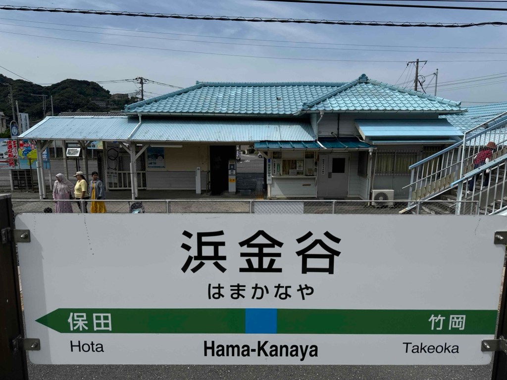
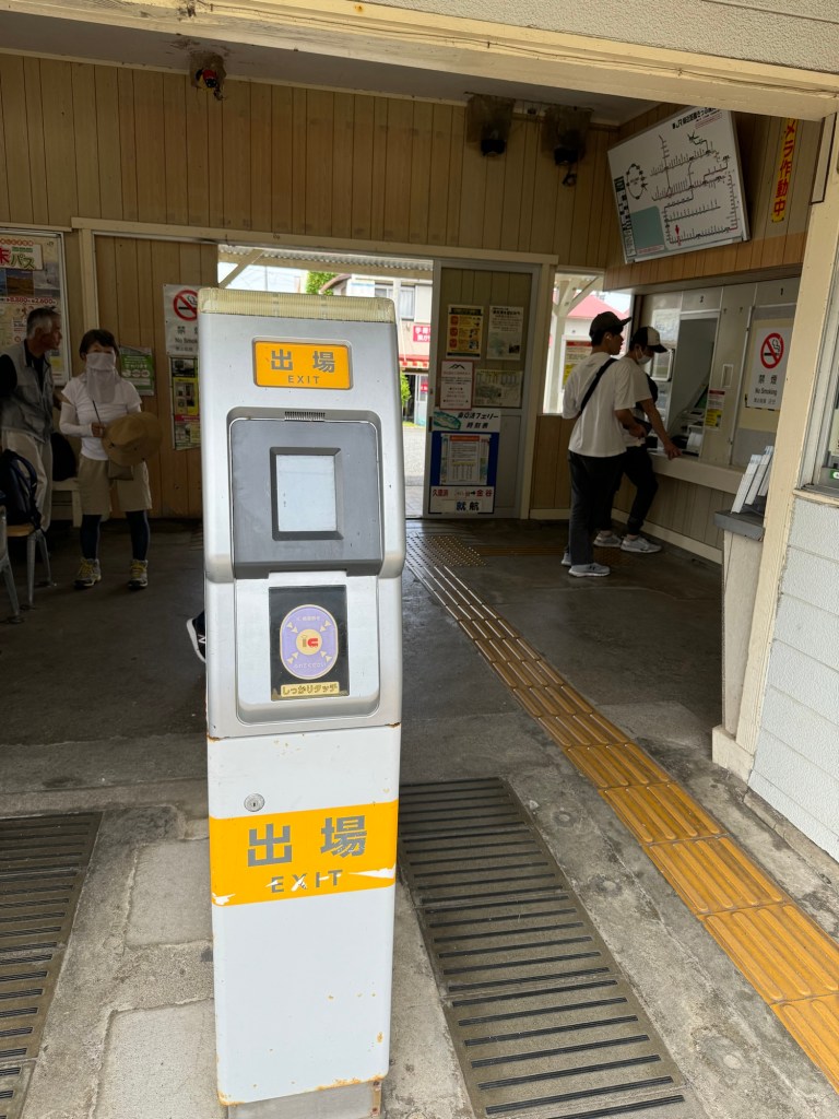
Alas, there is no storage locker at Hamakanaya station. It is a very small station.
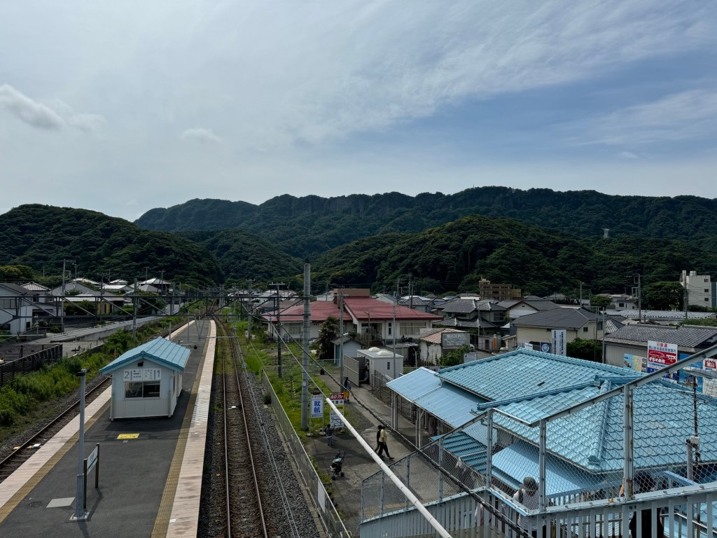
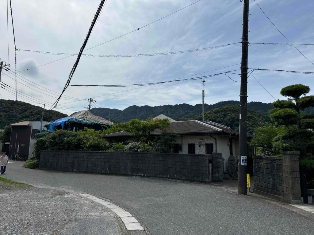
That’s the whole station. No station attendant. View from inside Hamakanaya Station. That’s the mountain I am climbing today with my backpack. Exiting the small Hamakanaya Station.
Could I have gone and dropped my bags at my Tateyama accommodations first? Yes, possible but it is another 30mins further south. And there is no guarantee that there is someone at the reception to accept my bag.
So, I decided to just slowly hike with my backpack weight of about 8kg up Mt Nokogiri. (And lug my backpack around Nihonji Temple as well. I decided to dedicate another post on Nihonji Temple as there are quite a few photos there.)
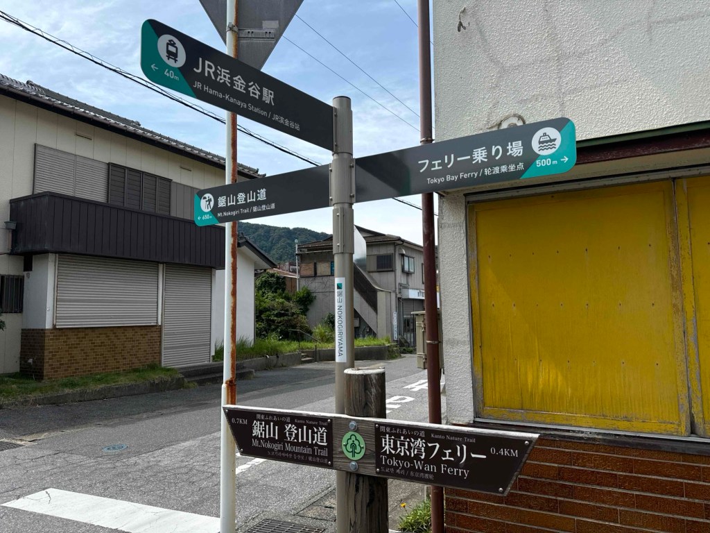
Directions at the exit of Hamakanaya Station.
Wow, this hike was not easy. Lots of climbing up and up and up. I was actually concerned whether I could get through it safely, that I, 20mins into the hike, messaged 2 groups of friends to inform them that I am hiking up Mt Nokogiri. (Just in case something happened to me. )
At the end, I am glad that I did it.
These are photos of my journey hiking up Mt Nokogiri, entering the side gate of Nihonji Temple.
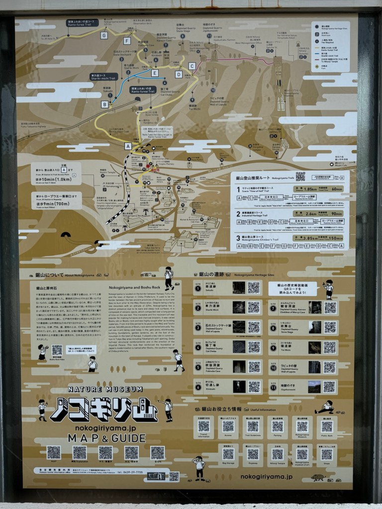
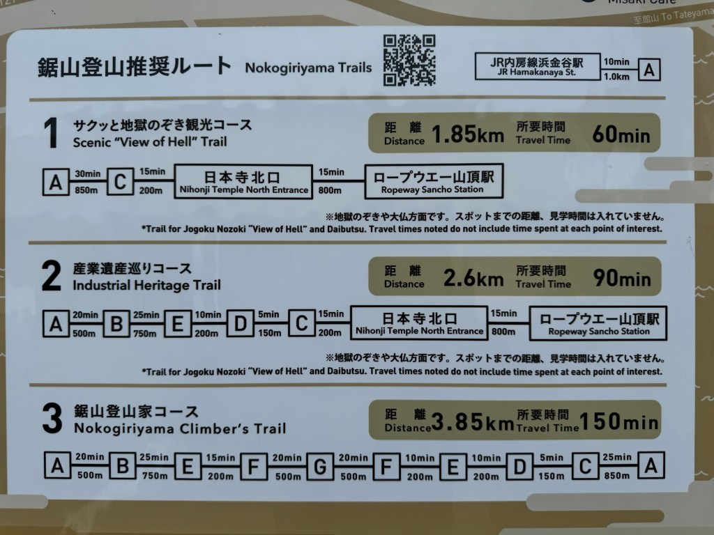
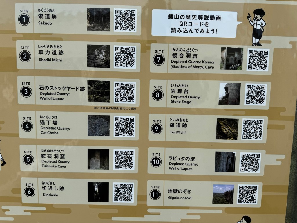
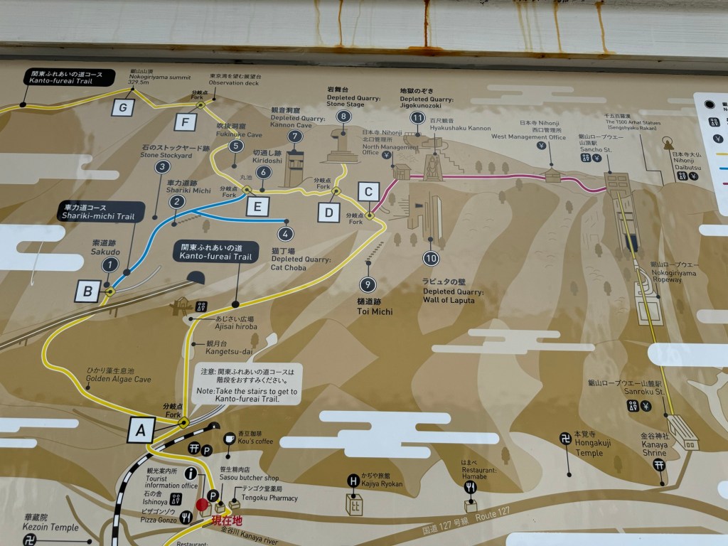
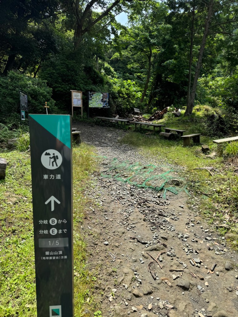
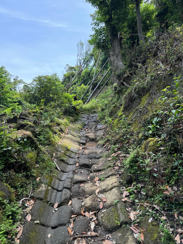
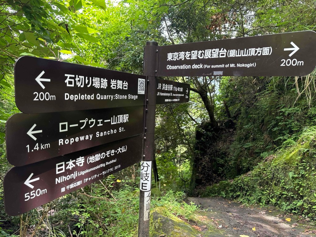
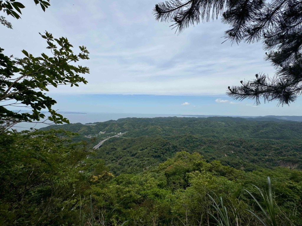
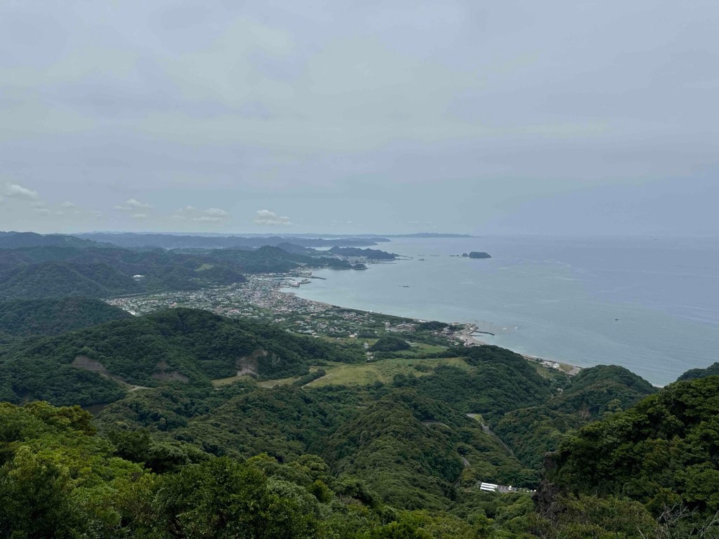
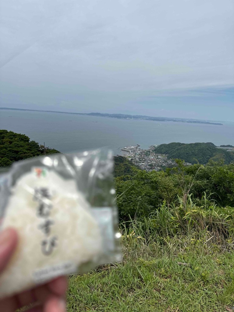
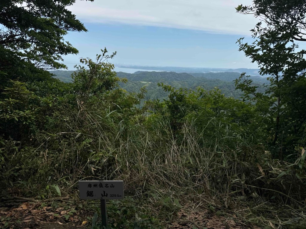
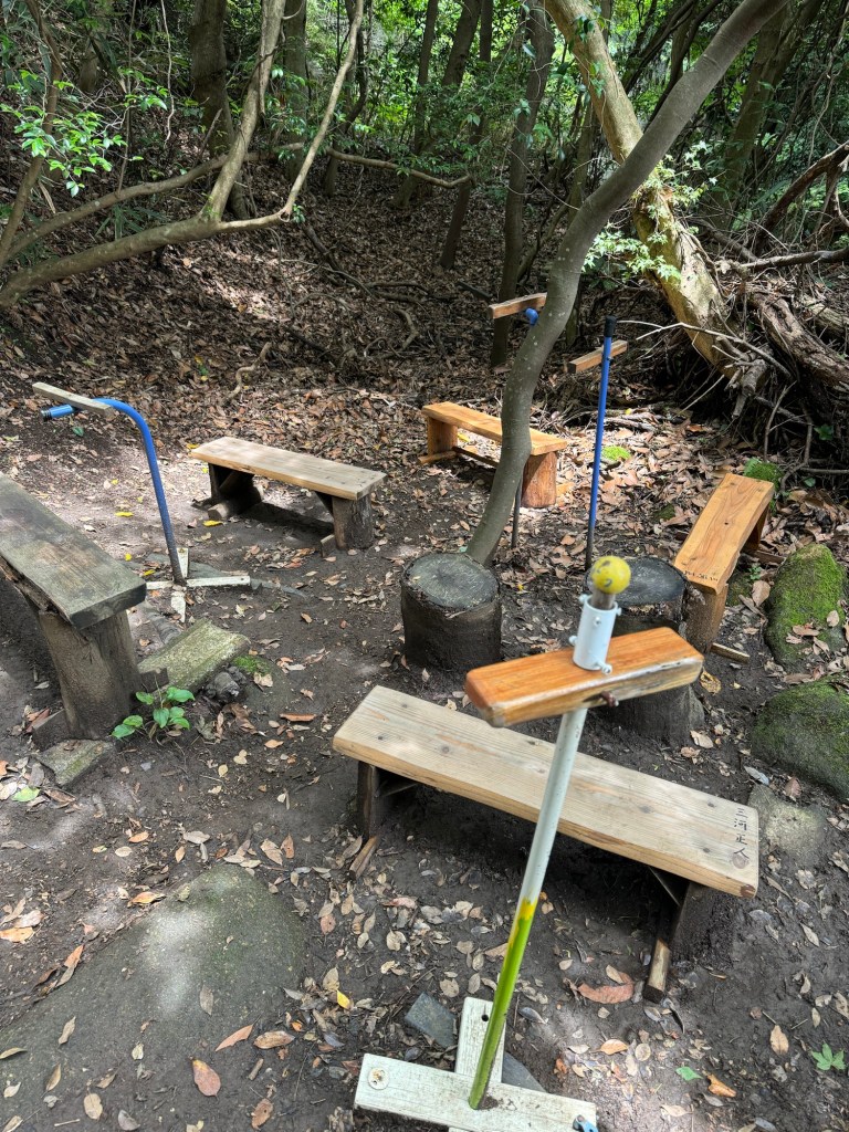
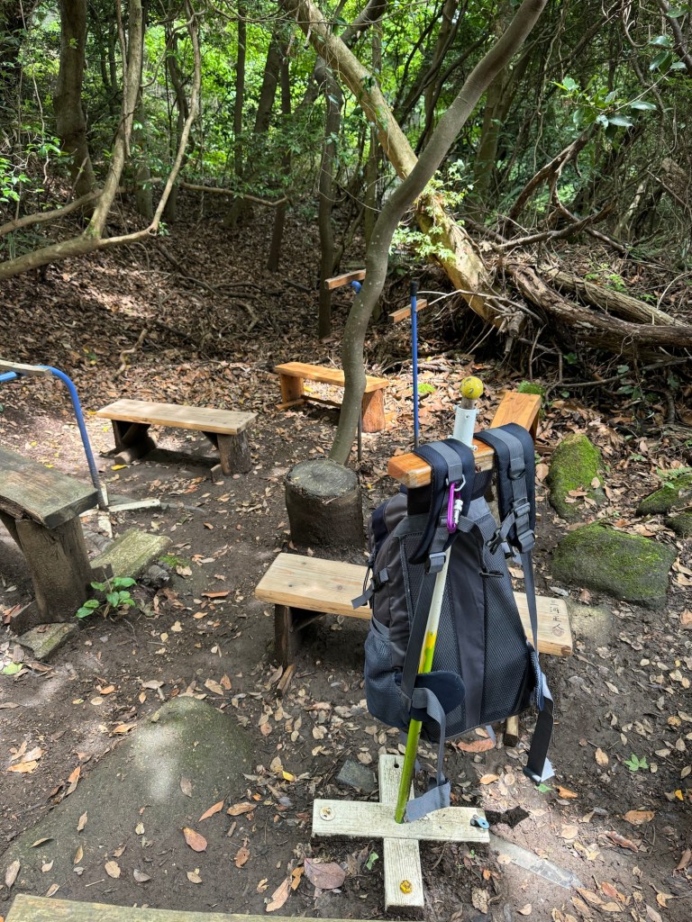
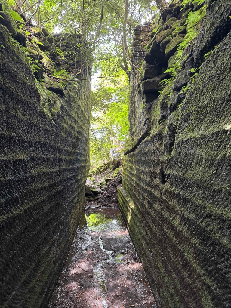
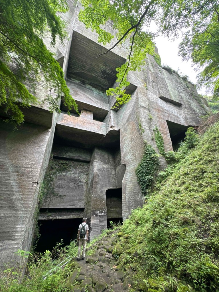
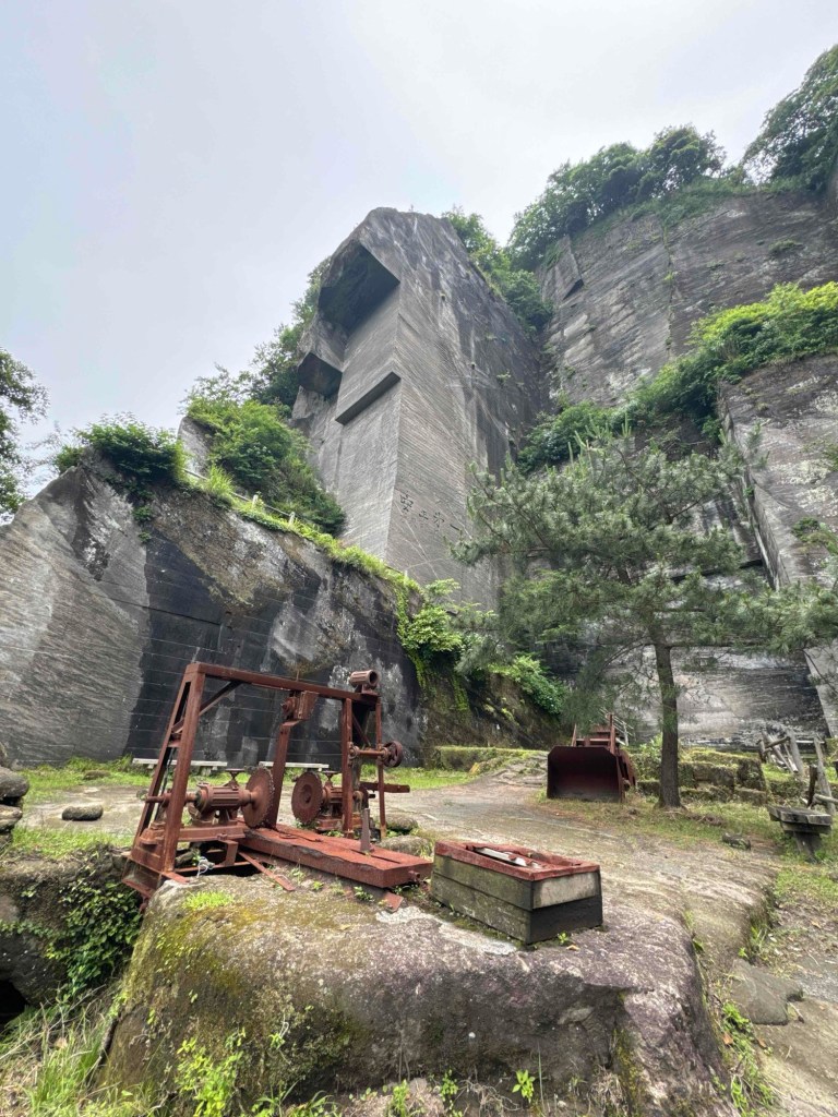
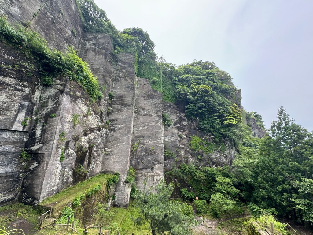
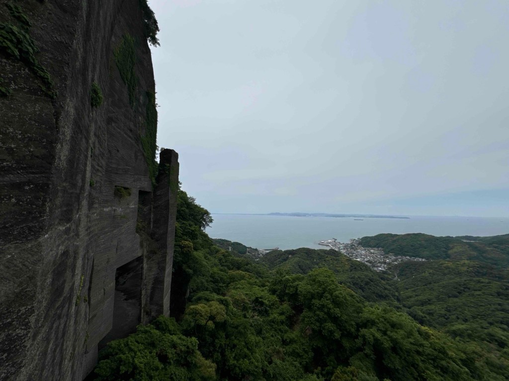
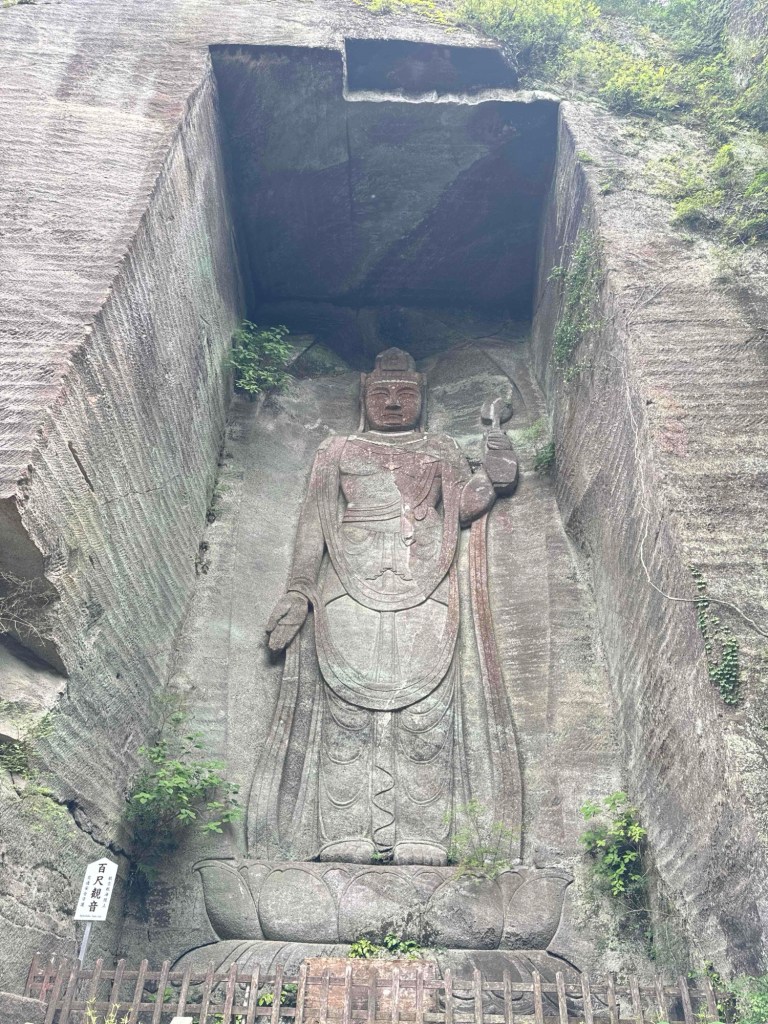
Looking at Mt Nokogiri again. The name Nokogiri means “Saw mountain” because the ridges of the mountain looks like the edges of a saw. 🪚Information board Details from the Information board. I decided to do 3, Nokogiriyama Climber’s Trail. Sights along the trail to take note of.At first, I was very confused. But after understanding how it works, I think it is a very detailed map of the sights and the trails climbing up Mt Nokogiri. The trails would show which checkpoints to hit, A to B, etc. the numbers are the sights along the way. The trail was very well marked with benches to rest frequently along the way.The start of the many many many stairs/paths up the mountain. At last, nearing the peak. But after this point, it was the toughest part of the hike, with many steep steps. You know it is steep, when they erected railings to assist you.View from just before the observation deck. The sea you see here is Tokyo Bay. On the opposite side of Tokyo Bay is Kanagawa Prefecture. Left side view at the observation deck. Right side view at the observation deck with my Onigiri salted rice ball snack. I quickly ate my rice ball as I had left my backpack just before turning up to the observation deck. (50m away)At the summit. This man helped looked after my backpack while I headed from the observation deck to the summit, and back. (15mins there, 30mins return.)I saw many of these poles or pipes along the way up the mountain. I thought they were water hoses. But they are not. Do you know what they are used for? They are meant to hang your backpacks. Sights along the hike towards Nihonji Temple. See how huge the quarry cut is, compared to that man!!Old equipment used in the past. The name of the mountain, Nokogiri means saw mountain due to the ridges of the mountain. (See the pictures from the station.) but I also think these cuts into the mountain also look like a saw.View of Tokyo Bay. Yay! Have reached Nihonji Temple. Nihonji Temple pictures would be on another post.